🌍 Map
🧩 CountryOutline
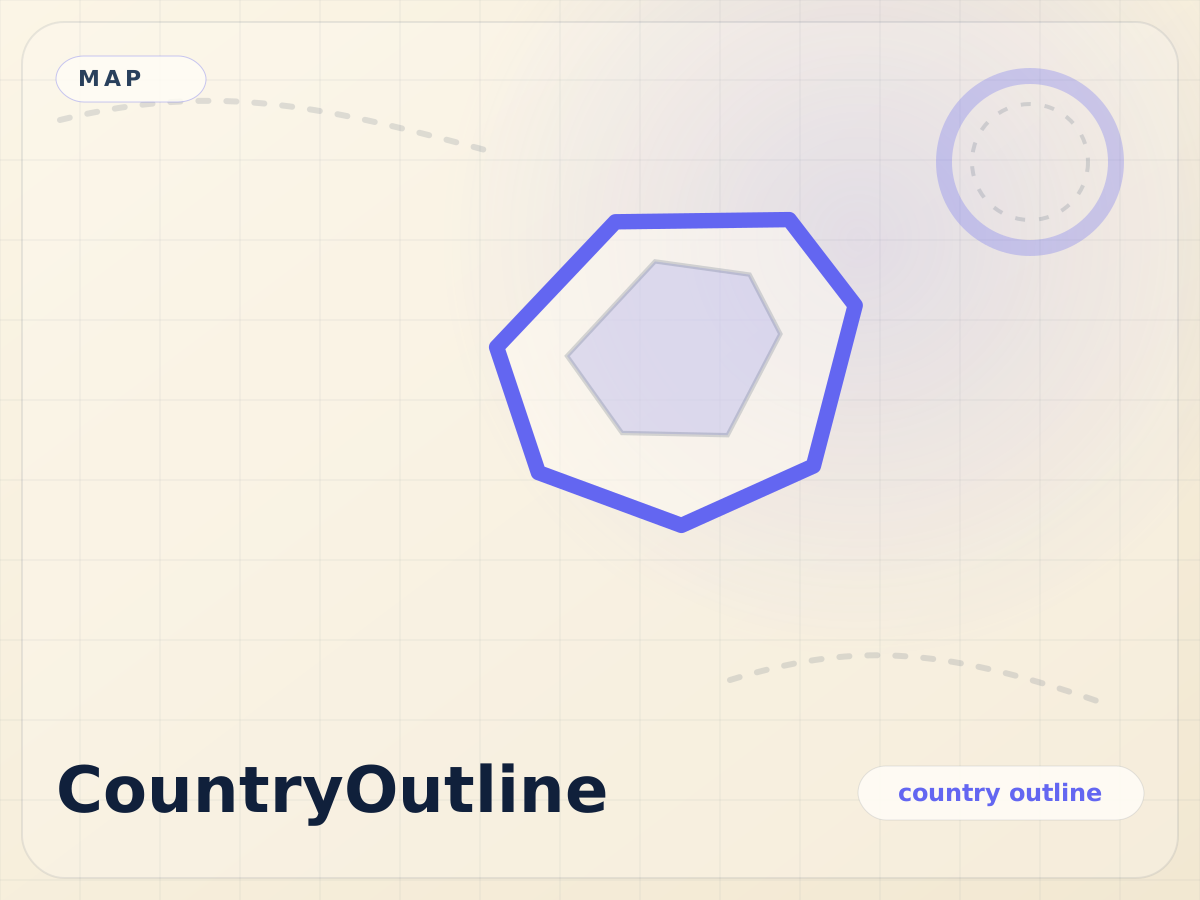
Strip away labels, borders, and context until only the silhouette remains. This challenge is all about reading national outlines and trusting pure visual memory.
10 roundsSilhouette recognitionFree to play
Route Notes
How to Play
A country is highlighted in indigo on the map with no labels. Type its name in the input box. Autocomplete lists matching countries as you type.
Field Guide
Tips
Look at the shape relative to the map edges. Countries with distinctive coastlines (Norway, New Zealand, Japan) are easier. Use surrounding ocean shapes as clues.
Logbook
Scoring
100 points per correct answer across 8 rounds. Score is shown on the map overlay.
Field Guide
Data Source
Country boundaries from Natural Earth 110m resolution. Displayed using MapLibre GL with no basemap tiles.
Try These Next
MetroTyping
Race through real metro stations, city by city
Route typing
GeoGuess
Guess the country from its outline on the map
Shape memory
MapHint
Progressive hints reveal the mystery country
Deduction
GlobeProx
Heat-seeking proximity game on the globe
Spatial reasoning
PinIt
Tap the correct location on the map
Map accuracy
MountainGuess
Identify the world's highest peaks
Peak identification