 Free entry
Worldle
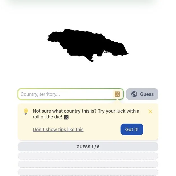
Identify a country or territory from its silhouette, using distance and direction clues.
Daily puzzles
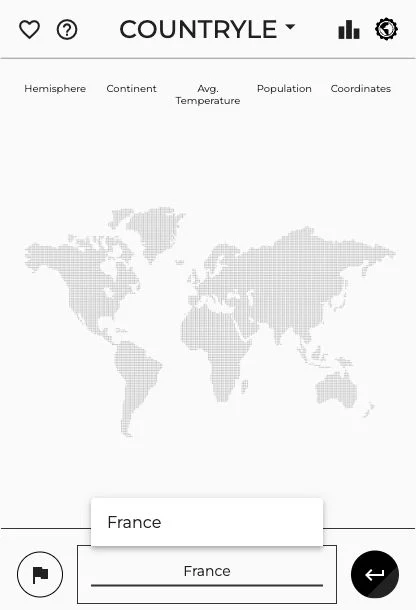
Hemisphere, continent, temperature and population all constrain the same answer. The challenge is making your next country guess fit the whole clue set, rather than chasing the last encouraging comparison.
Countryle uses a country name as the starting point for a chain of deductions. Feedback on geographic and demographic attributes helps you compare your choice with the hidden country, so knowledge of regions matters as much as recognizing a shape.
It is a good companion to silhouette games because it exercises a different skill. Read the meaning of each clue before the next guess: an attribute comparison does not necessarily imply that the target is a neighboring country.
Treat the feedback as a set of constraints, not a suggestion to keep guessing nearby countries. A possible answer has to fit the relevant geographic and demographic comparisons together. That makes an informative guess valuable even when it is obviously not the final answer: it can help separate two remaining regions or distinguish countries with very different attributes. The clue labels and the game’s dataset define what a comparison means.
Before the next guess, restate what every clue allows. A country that fits one encouraging comparison can still contradict the hemisphere or another attribute.
If two groups of countries remain plausible, choose a guess whose attributes help distinguish them. Avoid a string of similar guesses that provide almost the same information.
A demographic comparison is not a direction arrow. Work out what the field measures before using it to move your search to a neighboring country.
You enjoy narrowing a possibility list through evidence about hemispheres, continents, temperature and population. The satisfaction comes from fitting several clues together rather than recognizing a map instantly.
You want a purely visual challenge, or want statistics to match today’s exact figures. Attribute puzzles use a defined dataset; changing real-world numbers can differ from the values used in a round.
Choose a different game based on the experience you want.
Choose Worldle for country deduction driven by a silhouette and geographic distance. It provides a stronger visual starting clue instead of Countryle’s attribute comparisons.
Choose GeoGrid when you want to apply country attributes to several category intersections. It turns the same broad knowledge into a grid of valid answers instead of one hidden country.
No. Use the whole set of clues. A comparison may concern an attribute rather than physical proximity, so a nearby country can repeat the same mismatch.
The puzzle uses its own stored country data. Statistics change and definitions vary; interpret the clue within the round instead of assuming it uses a live population estimate.