 Free entry
EarthGuess
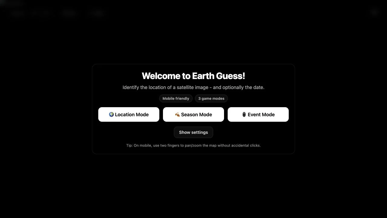
Locate curated satellite scenes, adding time-related deductions in Season or Event modes.
Recognize cities, landmarks and terrain from their view from above.
Compare the clues, find your play style, and visit the official game.
Showing 1–4 of 4 games
Free entry
Locate curated satellite scenes, adding time-related deductions in Season or Event modes.
 Free entry
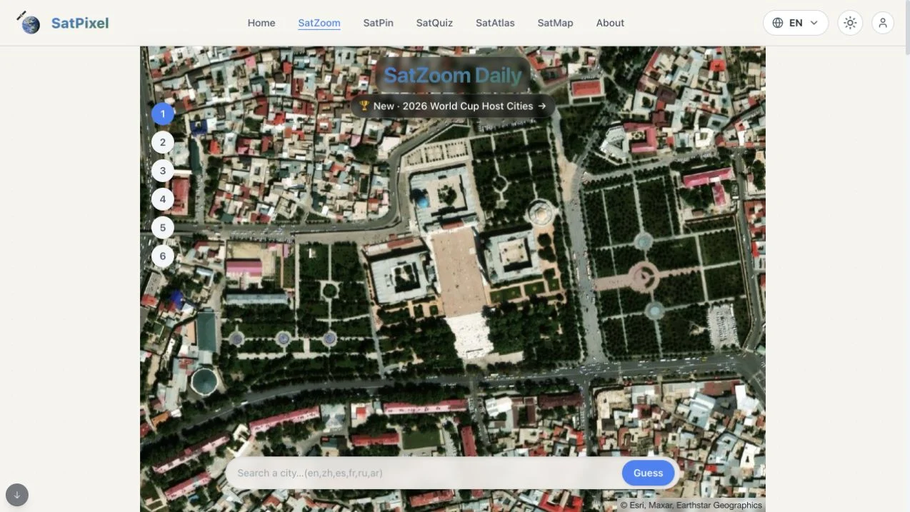
Identify a city in SatZoom’s six guesses as incorrect answers progressively reveal a wider satellite view.
 Free entry
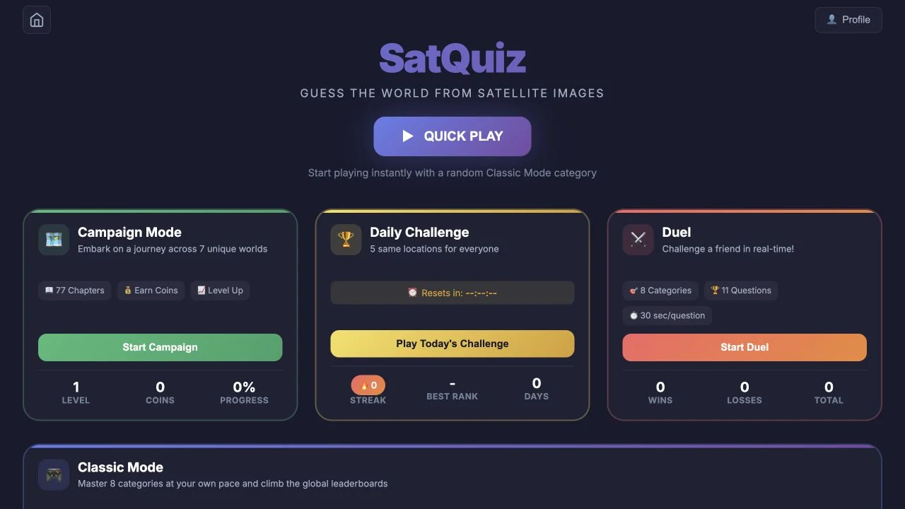
Identify places from satellite images through category quizzes, a daily set and advertised campaign or duel formats.
 Free entry
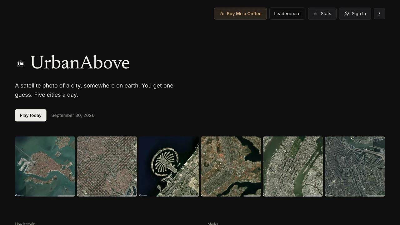
Solve five satellite city rounds with one guess each, spending points on optional continent, country or letter hints.
Try a different search or clear your filters to explore the directory.
Free entry can include paid extras. Popularity uses dated third-party visit estimates, including whole-site figures for quiz platforms. Our review method
Satellite games remove street-level signs and replace them with coastlines, river courses, runway geometry and street plans. Start with the largest visible structure, then compare smaller features. Different image sources, crop sizes and zoom levels can make the same place feel very different.