 Free entry
SatQuiz
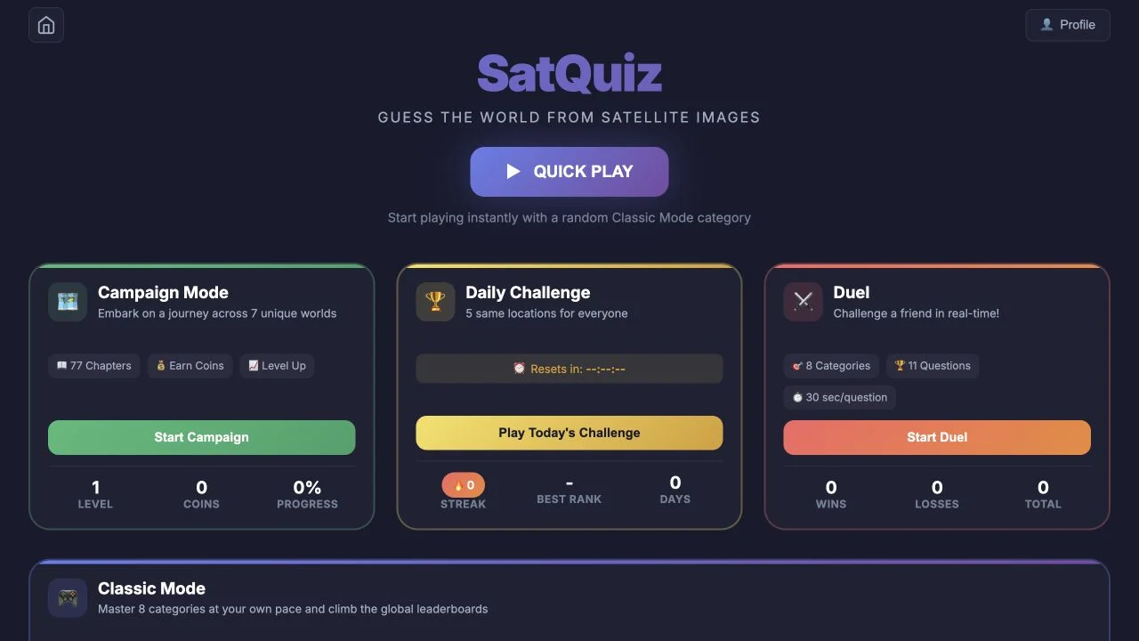
Identify places from satellite images through category quizzes, a daily set and advertised campaign or duel formats.
Satellite
Generic urban blocks become more informative when the next view reveals a river, coast or network. Reconsider the whole hypothesis after each zoom-out instead of cycling through famous cities.
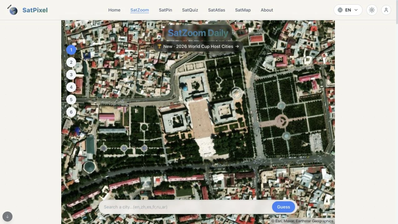
SatPixel’s verified SatZoom entry shows a city-search input, six guess positions and a satellite map. The guide says each incorrect guess zooms the map outward, revealing more of the urban pattern. Distance and direction clues accompany the progressive view.
The platform also links SatPin for coordinates, SatQuiz for themed questions and SatAtlas for imagery browsing. Country, continent and topic choices provide other SatZoom scopes. The directory link goes directly to the inspected English SatZoom page; other linked modes were not fully played.
A close view can hide the features that make a city distinctive. A wider river bend, coastline or road network may resolve several initially plausible urban blocks. Use each failed guess as an opportunity to reinterpret the expanded frame, not just move to the next famous city. The regional or topic scope can remove many irrelevant candidates before guessing.
Avoid deciding from generic street density alone. Ask what wider landform or network feature would distinguish your candidates.
Compare the newly visible area with your original hypothesis. More context can invalidate a convincing close-up impression.
Select the correct suggestion and check for same-named cities. Multilingual input support helps with spelling but does not settle geographic identity.
You want a daily city puzzle where satellite context gradually expands after mistakes.
You want a coordinate-only challenge or assume every SatPixel mode uses six guesses. SatPin and SatQuiz are different formats.
Choose a different game based on the experience you want.
The public guide says the satellite map zooms out, exposing more context. Distance and direction also help refine the city hypothesis.
No. The platform describes SatPin as coordinate placement and distance scoring. This listing’s verified entry is SatZoom’s city identification.
Free entry
Identify places from satellite images through category quizzes, a daily set and advertised campaign or duel formats.
 Free entry
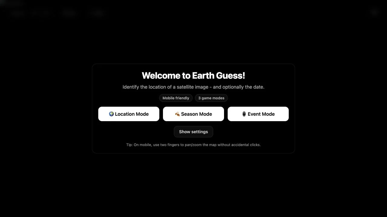
Locate curated satellite scenes, adding time-related deductions in Season or Event modes.
 Free entry
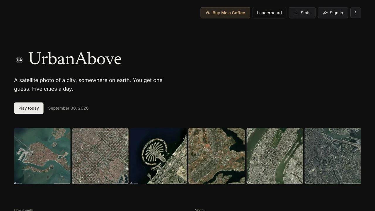
Solve five satellite city rounds with one guess each, spending points on optional continent, country or letter hints.