 Free entry
SatQuiz
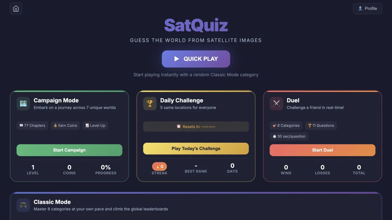
Identify places from satellite images through category quizzes, a daily set and advertised campaign or duel formats.
Satellite
A river’s shape can locate a scene while snow or water levels suggest when it was captured. Build the geographic hypothesis before interpreting the seasonal clue.
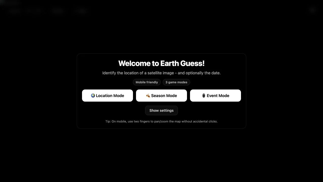
EarthGuess uses a handpicked collection of Sentinel-2A scenes rather than street photographs. Its introduction emphasizes rivers, reefs, ice, crops, burn scars and city edges, with real acquisition dates preserved for each case. Reveals are described as explaining the visual clues.
The checked play interface shows a five-round set with 60 seconds and Location, Season or Event choices. Location asks where the scene belongs; the other modes add time-related questions. The exact date scoring of every format was not tested, so read the selected mode’s current instructions.
Satellite color is evidence in context. Snow or a burn scar can indicate a season or event, but also depends on latitude, altitude and local conditions. First establish the scene’s broad geography, then ask what the image’s dated appearance implies. A curated deck favors recognizable patterns over assuming that every pixel belongs to a random world location.
Trace coasts, river branches or mountain texture before focusing on one bright color. Structure is often more geographically stable than a temporary surface condition.
A snowy scene does not establish winter everywhere. Consider latitude and altitude before using seasonal appearance as a date clue.
Use the stated visual tells to improve the next scene. Remembering why a reef or river shape mattered is more transferable than one coordinate.
You enjoy natural geography and interpreting satellite imagery with optional seasonal or event context.
You want street navigation or a verified exact-date score model. This entry uses curated top-down scenes and mode-specific time questions.
Choose a different game based on the experience you want.
No. The public page identifies true-color Sentinel-2A satellite scenes from Copernicus.
The play entry separates Location from Season and Event. The public introduction describes time questions in the latter modes; check the chosen format for its requested quantity.
Free entry
Identify places from satellite images through category quizzes, a daily set and advertised campaign or duel formats.
 Free entry
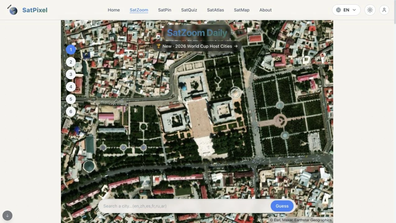
Identify a city in SatZoom’s six guesses as incorrect answers progressively reveal a wider satellite view.
 Free entry
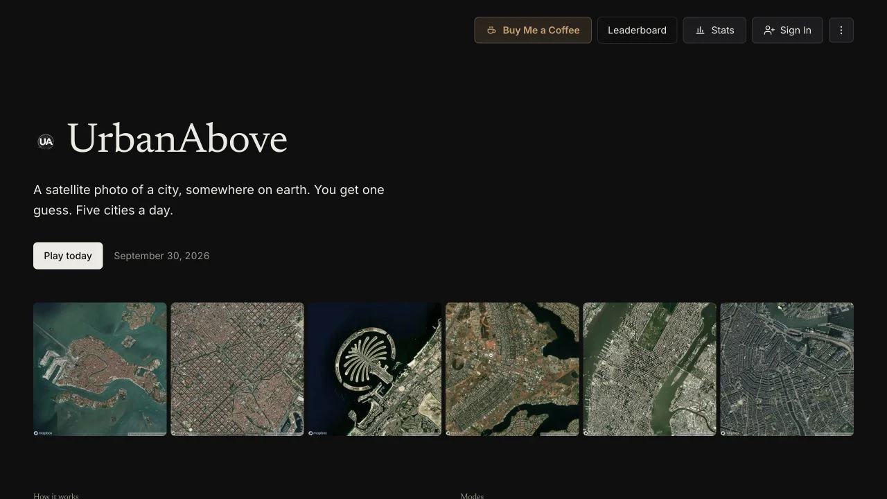
Solve five satellite city rounds with one guess each, spending points on optional continent, country or letter hints.