 Free entry
SatQuiz
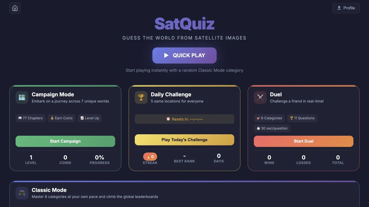
Identify places from satellite images through category quizzes, a daily set and advertised campaign or duel formats.
Satellite
One close crop can resemble many places. Keep the visible geometry in mind, use each wider image to test the city hypothesis and let geographic feedback eliminate poor matches.
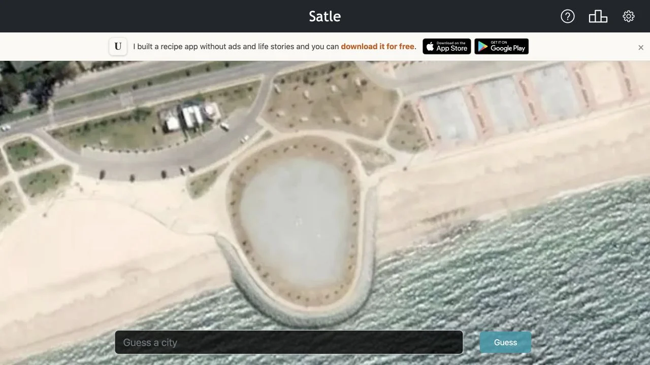
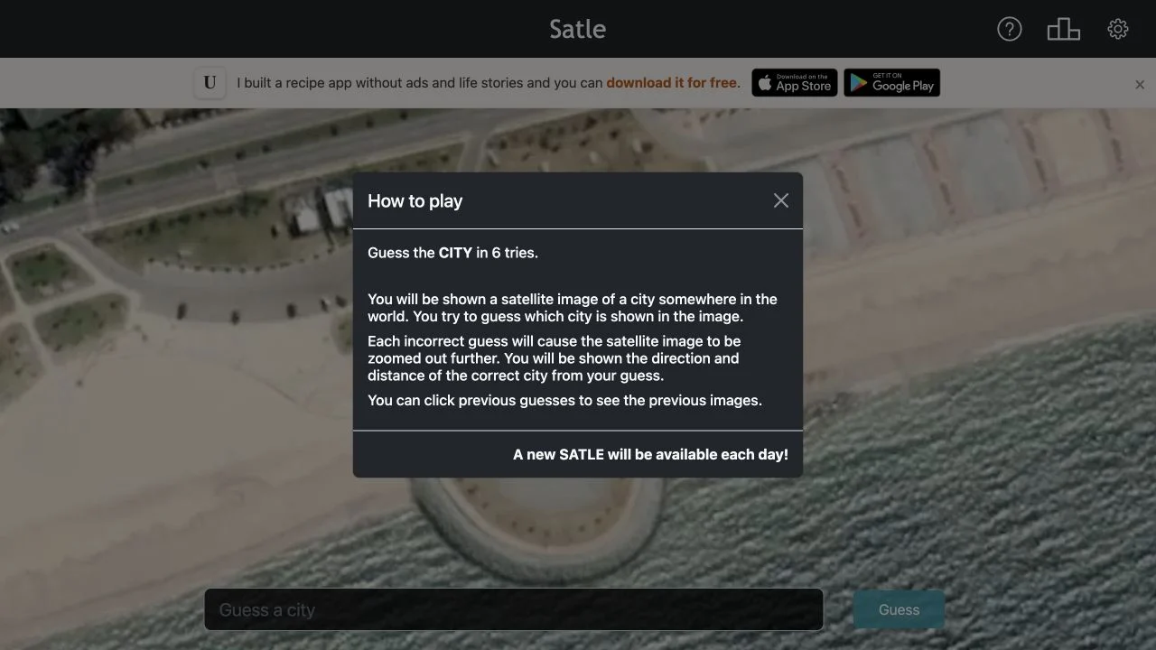
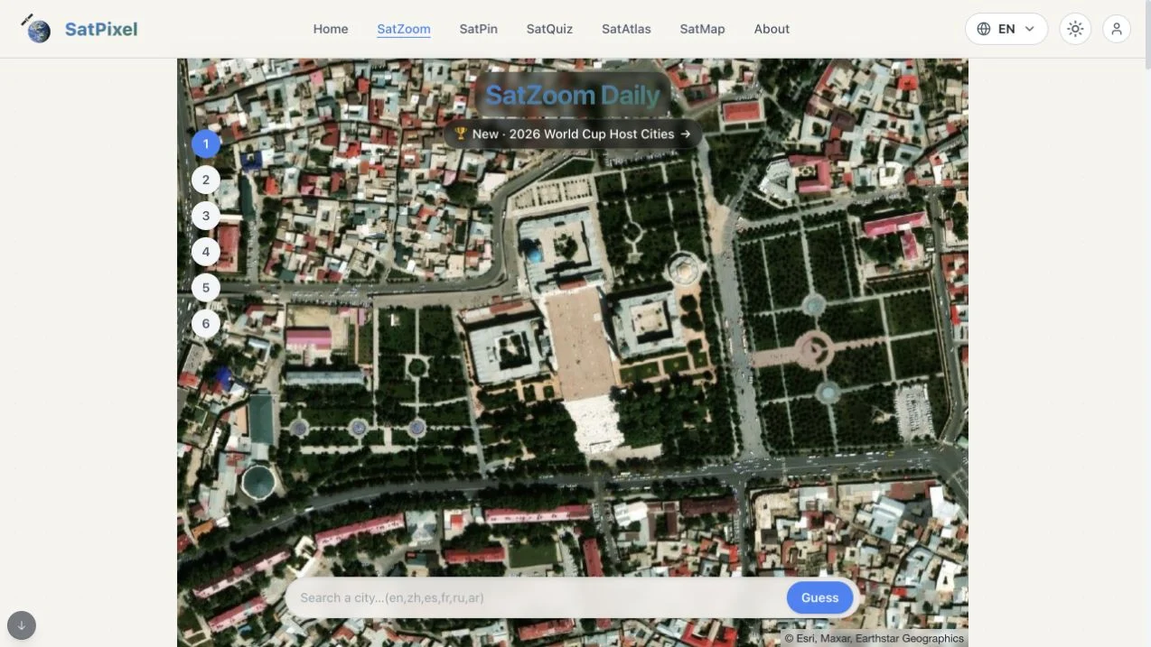
Satle supplies one daily city shown from above. Its official How to play panel allows six guesses, with an incorrect answer zooming the satellite image farther out and revealing distance and direction to the correct city. You can revisit previous guesses to compare the earlier images, rather than relying on memory of the first close crop.
The answer field asks for a city selected from its autofill list. Recognizing a building or waterfront does not settle the country unless the surrounding structure also fits. The changing image scale is part of the puzzle: what begins as an ambiguous block or shoreline can later reveal a characteristic river bend, urban pattern or coast. Our capture records the public daily scene and its rules, without revealing a completed answer.
A tight image crop can fit many cities, making an informative guess more useful than false confidence about a small feature. The next view supplies additional context, while distance and direction constrain the same candidate list. Apply both together: a promising skyline pattern is weak evidence if the geographic feedback contradicts it. Revisiting the earlier crop helps connect the newly visible city structure to the original clue.
Note the coast, street grid, water shape or large structure. Those observations remain useful when the image widens, whereas an early familiar-city guess can bias the whole search.
Select the intended city and country from the list before guessing. Duplicate city names and unsupported entries should not consume your reasoning time.
New context can overturn the first impression. Compare the wider landform with the feedback instead of repeatedly choosing nearby cities that share only the original small feature.
You like compact daily satellite puzzles that combine visual recognition with geographic elimination.
You want unlimited themed pinpointing or a country-outline task. Satle has a city-name target and one new daily puzzle.
Choose a different game based on the experience you want.
The official rules say the image zooms out farther and supplies distance and direction to the correct city. You can click previous guesses to revisit their earlier images.
The interface asks you to select a city and country from the autofill list. Choose a supported suggestion rather than submitting a free-form name that may be ambiguous or absent from the game’s list.
Free entry
Identify places from satellite images through category quizzes, a daily set and advertised campaign or duel formats.
 Free entry
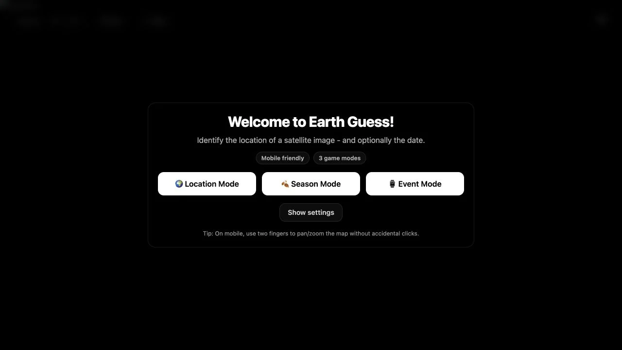
Locate curated satellite scenes, adding time-related deductions in Season or Event modes.
 Free entry
Identify a city in SatZoom’s six guesses as incorrect answers progressively reveal a wider satellite view.