 Free entry
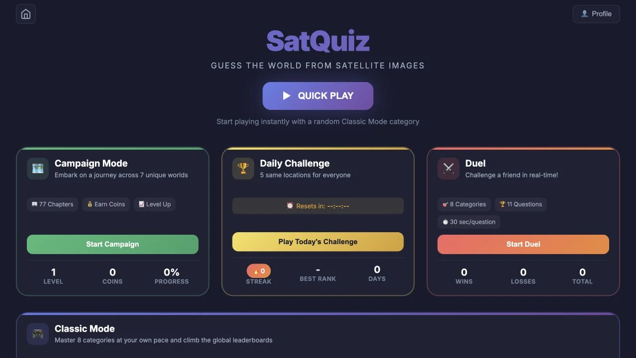
SatQuiz
Identify places from satellite images through category quizzes, a daily set and advertised campaign or duel formats.
Satellite
Recognizing a delta or crater identifies the feature type. Read the surrounding terrain, choose its region and refine the pin before interpreting the distance feedback.
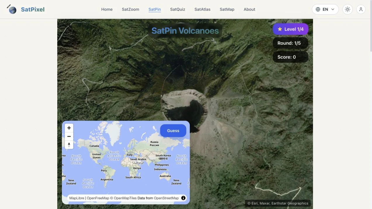
SatPin is SatPixel’s satellite-to-map-pin format. The public daily interface showed a five-round tracker, satellite scene, small world map and Guess control. The official explanation asks you to study geographic features, place a position and review distance and direction feedback. Natural-landform and engineering themes provide more focused clue pools than an unrestricted world image.
This is distinct from the existing SatPixel listing, which links to SatZoom’s city-name and progressive zoom-out game. SatPin asks for a position rather than the same named-city answer. Its catalog covers subjects such as volcanoes, river deltas, artificial islands and airports. Those themes suggest useful structures to inspect, but a recognizable shape still needs broader geographic context for a precise pin.
Without street signs, shape and context drive the deduction. A crater, artificial island or runway system can identify a type of place, while coastlines, adjacent terrain and regional layout help identify which example it is. A map pin then tests the location more precisely than naming the general landform. Distance feedback is useful for assessing whether the error came from choosing the wrong region or positioning inside it.
First decide whether the scene is natural or engineered and identify its dominant geometry. A river delta and a port can both branch into water but imply different candidate places.
Compare nearby coastlines, mountain belts and settlement patterns after recognizing a feature. Several volcanoes or artificial islands can have similar silhouettes at one zoom level.
A correct broad hypothesis does not guarantee a close score. Increase map scale and compare the target’s relation to a coast, river or nearby city before submitting.
You enjoy satellite recognition and want geographic pinpointing with natural and human-made feature themes.
You prefer typing a city name or need street-level labels. The target is a map position, and overhead imagery demands a different set of clues.
Choose a different game based on the experience you want.
No. SatPin uses a geographic pin, while SatZoom’s city puzzle uses city-name guesses and progressive zoom-out. They share the SatPixel platform but have different controls and targets.
Start with coastlines, river courses and large geometric structures. The selected theme can narrow the feature type; surrounding terrain and urban layout then help distinguish similar examples.
Free entry
Identify places from satellite images through category quizzes, a daily set and advertised campaign or duel formats.
 Free entry
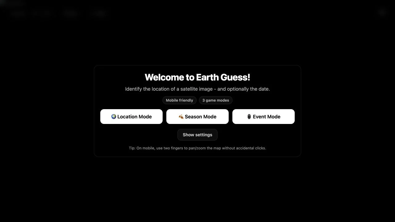
Locate curated satellite scenes, adding time-related deductions in Season or Event modes.
 Free entry
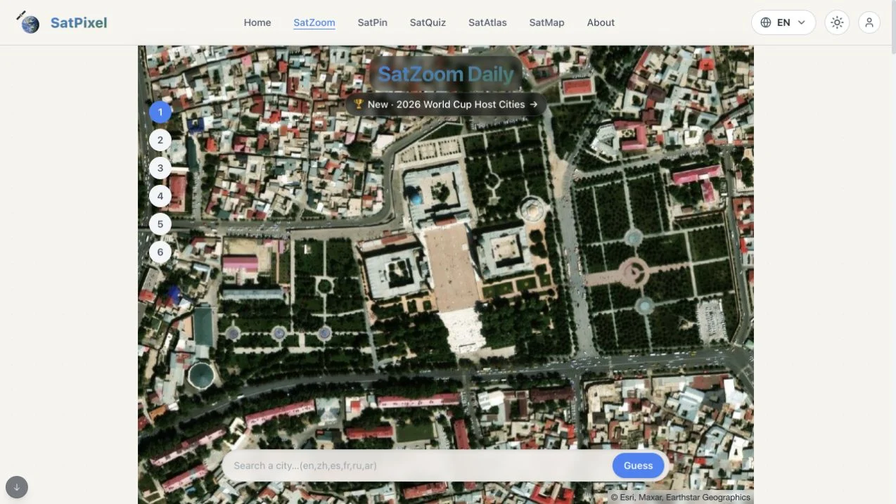
Identify a city in SatZoom’s six guesses as incorrect answers progressively reveal a wider satellite view.