A different view of the map

Recognize the world from above

Read city grids, coastlines and landforms through satellite puzzles with different clue budgets.

Why these games?

Satellite views remove the street signs that make ground-level guessing comfortable. Rivers, coastlines, runway layouts and urban grids become the clues, with image scale determining what you can reasonably identify. These four picks use different information budgets: a city view may widen after a wrong answer, another allows one answer after optional hints, and a curated landscape can also ask about time. Choose the category or mode before interpreting a bright patch or geometric pattern. Daily access and extended practice differ between publishers. Start with a broad landform hypothesis, then use newly available context to distinguish the remaining places.

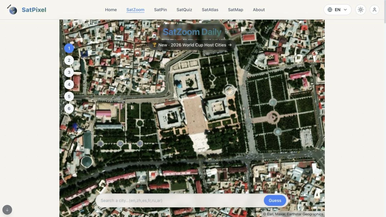
  1. SatPixel — english satzoom daily satellite map, city search and six guess positions

    SatPixel

    Use SatZoom’s six city guesses and progressive zoom-out to compare urban context. A wider river bend or coastline can invalidate an early block-level impression, so reassess the whole hypothesis after each reveal.

    Read the game guide Official site (opens in a new tab)
    Access
    Free core features advertised
    Account
    No login required for the inspected SatZoom entry
    Play style
    Daily challenge
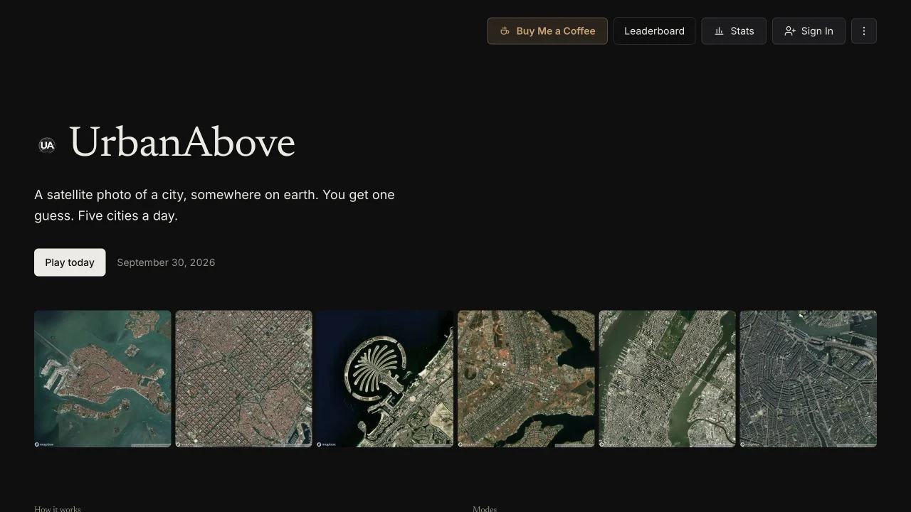
  2. UrbanAbove — public satellite-city rules, hint explanation and daily/subscriber mode catalog

    UrbanAbove

    Make one guess for each of five daily cities, spending points on useful hints before committing. Daily entries are free, while Unlimited is subscriber-labeled; choose the clue that separates your plausible cities.

    Read the game guide Official site (opens in a new tab)
    Access
    Free daily entries; Unlimited advertised for subscribers
    Account
    Daily play without an account; subscriber access for Unlimited
    Play style
    Daily challenge
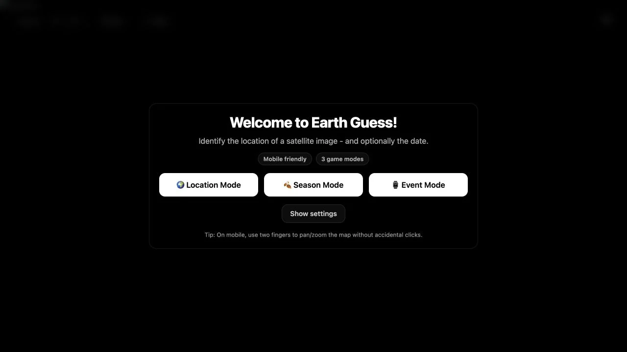
  3. EarthGuess — satellite play interface with location, season and event choices and a five-round timer

    EarthGuess

    Interpret handpicked Sentinel-2 scenes in Location, Season or Event modes. Landform structure can support geography, while snow or water levels add time-related evidence that needs latitude and altitude context.

    Read the game guide Official site (opens in a new tab)
    Access
    Public satellite guessing entry
    Account
    No account gate encountered in the inspected play interface
    Play style
    Single player
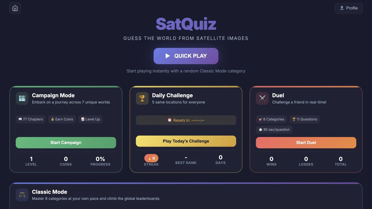
  4. SatQuiz — loaded satellite-game menu with classic categories and daily, campaign or duel descriptions

    SatQuiz

    Choose a themed satellite category such as cities, islands or airports before analyzing the image. The category establishes its likely scale; campaign and duel entries are advertised separately from ordinary recognition practice.

    Read the game guide Official site (opens in a new tab)
    Access
    Public Quick Play and satellite mode entries
    Account
    Profile control visible; full account and duel flows not tested
    Play style
    Multiplayer available

Another way to explore

All 12 collections