 Free entry
World Geography Games
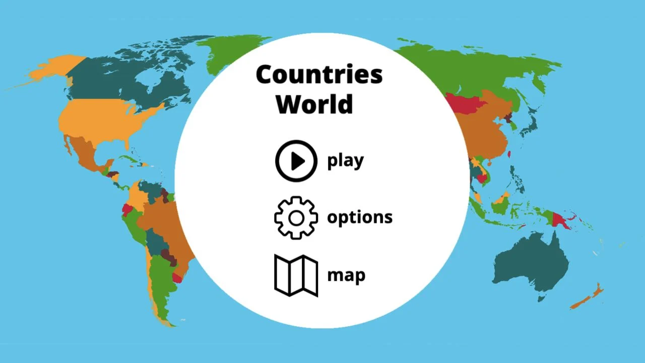
Practice countries, capitals, oceans and physical geography with focused map quizzes.
Map quizzes
The country name is given; its relative dimension is not. Read the reference, estimate in useful multiples and correct the distortions that familiar world maps can leave in memory.
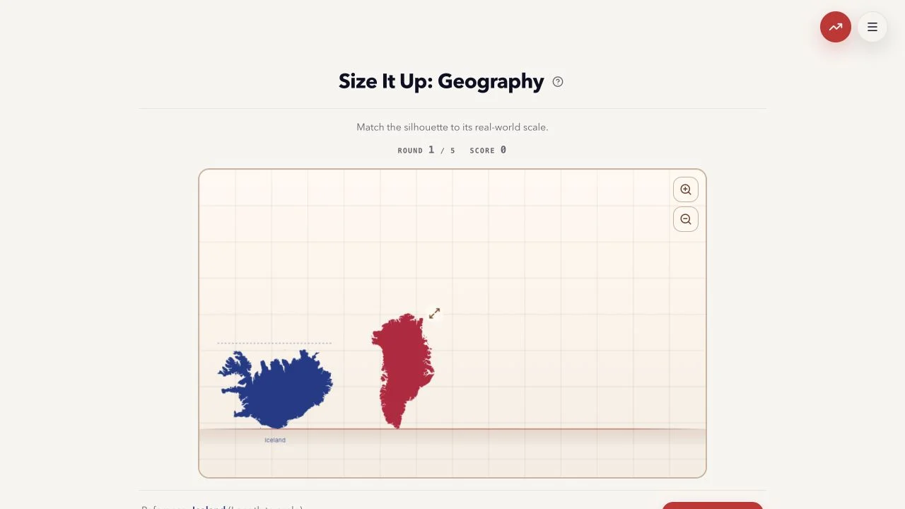
Magnitudle’s Size It Up: Geography entry asks you to match a silhouette to its real-world scale. The checked first round showed Greenland to adjust against an Iceland reference labeled length to scale. The five-round interface provides a resizing board and Lock In control.
Unlike a country-identification puzzle, the target’s name is already supplied. The uncertainty is how large it should be relative to the reference. Read which dimension is being adjusted: height or length does not mean area, and familiar map projections can distort your intuition.
Scale estimation asks for a ratio between two quantities of the same kind. A country may have a huge area without being proportionally wider, and a familiar Mercator outline can exaggerate high-latitude size. Begin with rough geographic distances and compare the dimension named by the board. Board zoom creates more resizing space; it should not be confused with changing the actual physical reference.
Check whether you are matching height, length or another measure. A remembered area comparison is not directly interchangeable with a linear ratio.
Decide whether the target should be about one, two or several reference lengths before fine adjustment. This prevents small nudges around a fundamentally wrong scale.
High-latitude countries often look enlarged on familiar world maps. Use real-world extent rather than the amount of map space you remember them occupying.
You like geographic estimation and want to test relative dimensions rather than names. Supplied silhouettes keep attention on scale rather than drawing accuracy.
You want exact country placement or an area-ranking quiz. The checked mode uses a specific resize dimension and reference, which must be interpreted on its own terms.
Choose a different game based on the experience you want.
The verified geography board supplies the target name. Your task is to resize its silhouette to the appropriate real-world scale.
Not directly. Height or length is a linear measurement, while area is two-dimensional. Read the board’s dimension and compare like quantities.
Free entry
Practice countries, capitals, oceans and physical geography with focused map quizzes.
 Free entry
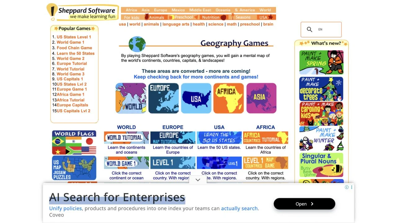
Learn geography through regional map exercises and approachable practice games.
 Free entry
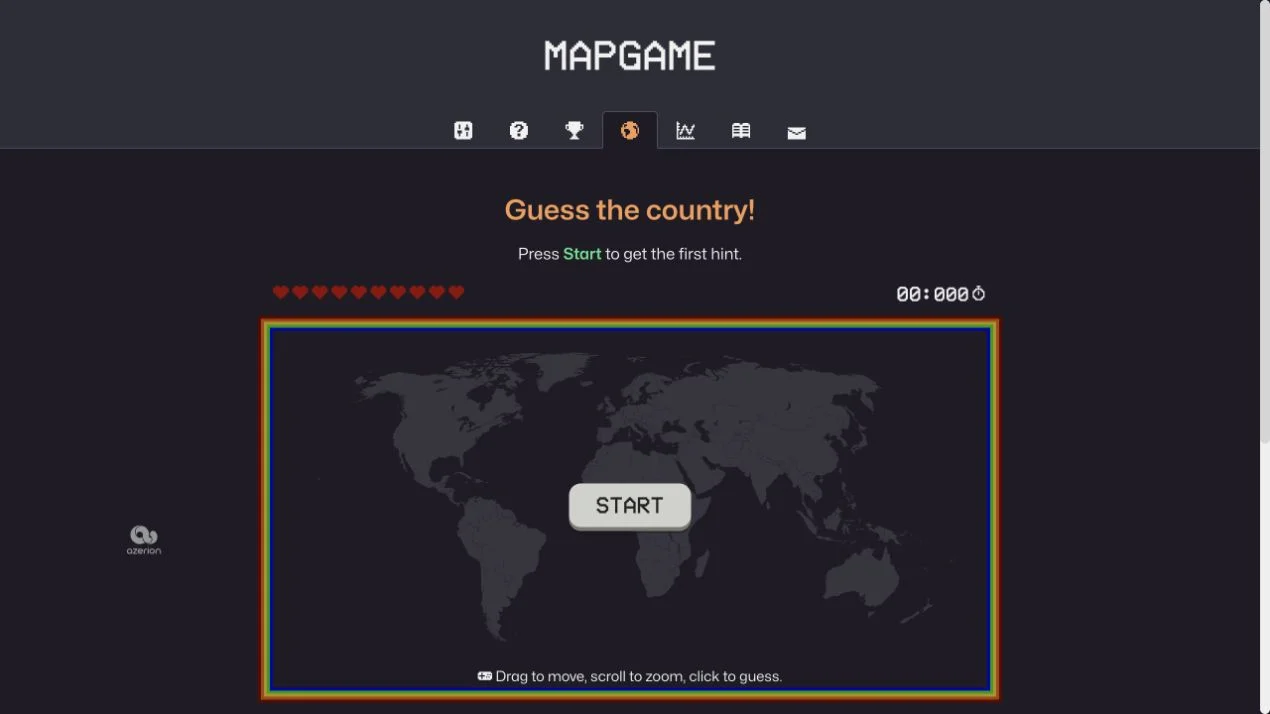
Find a hidden country through clues on an interactive world map.