 Free entry
Worldle
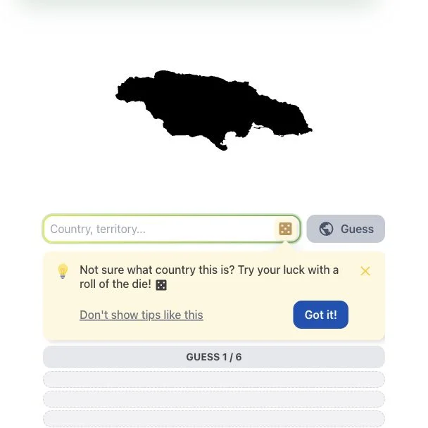
Identify a country or territory from its silhouette, using distance and direction clues.
Daily puzzles
A country shape and a calling code can describe the same place. Translate each tile, compare possible connections and require a rule that fits all four choices.
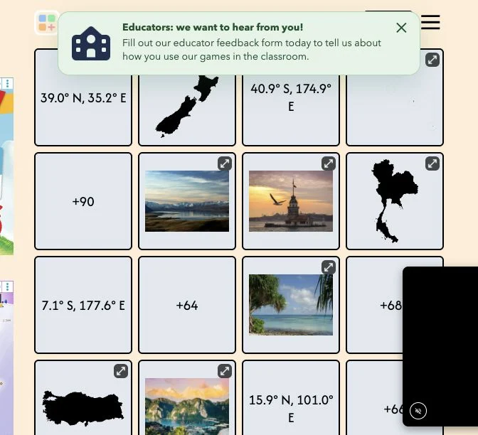
GeoConnections presents a board of 16 items to arrange into four groups of four. Clues can be photographs, country shapes, flags, words or geographic facts; the checked board mixed outlines, coordinates, country calling codes and scenery. Each group depends on a shared relationship, and the official introduction allows four mistakes.
The public interface provides selection, deselection and submission controls, plus Easy mode and Infinity mode entries. Recognizing an item is only the first step: you still need a category that fits exactly four of the remaining clues. Publisher account and Passport links are separate from the guest board, so our public check does not establish every archive or paid-feature entitlement.
A plausible pair is not yet a solved group. A phone code, coordinate and country outline may all represent the same place even though they look unrelated. Conversely, two similar landscapes may belong to different intended categories. Keep several hypotheses available until one explains four items together. Removing a correct group changes the remaining possibilities, so reassess the board after each successful submission.
Identify what an outline, dialing code or coordinate denotes before deciding its category. Mixing an item’s appearance with its geographic meaning can create an attractive but invalid group.
Test the proposed rule against all four choices. If one needs an exception, keep it as a hypothesis and search the remaining board for a cleaner match.
After a valid group disappears, reconsider ambiguous items. A photograph that fit two categories may become clear once the other category is no longer possible.
You like geographic trivia and the satisfaction of explaining relationships across different clue formats.
You want systematic map-location practice or dislike wordplay and category ambiguity. Item recognition alone does not solve every intended grouping.
Choose a different game based on the experience you want.
The official introduction describes 16 items arranged into four groups of four, with at most four mistakes. Each selected set needs one shared relationship.
No. The checked board included country outlines, coordinates, calling codes and photographs. The clue formats can change, so interpret the item before searching for its connection.