🌍 Map
🗺️ GeoGuess
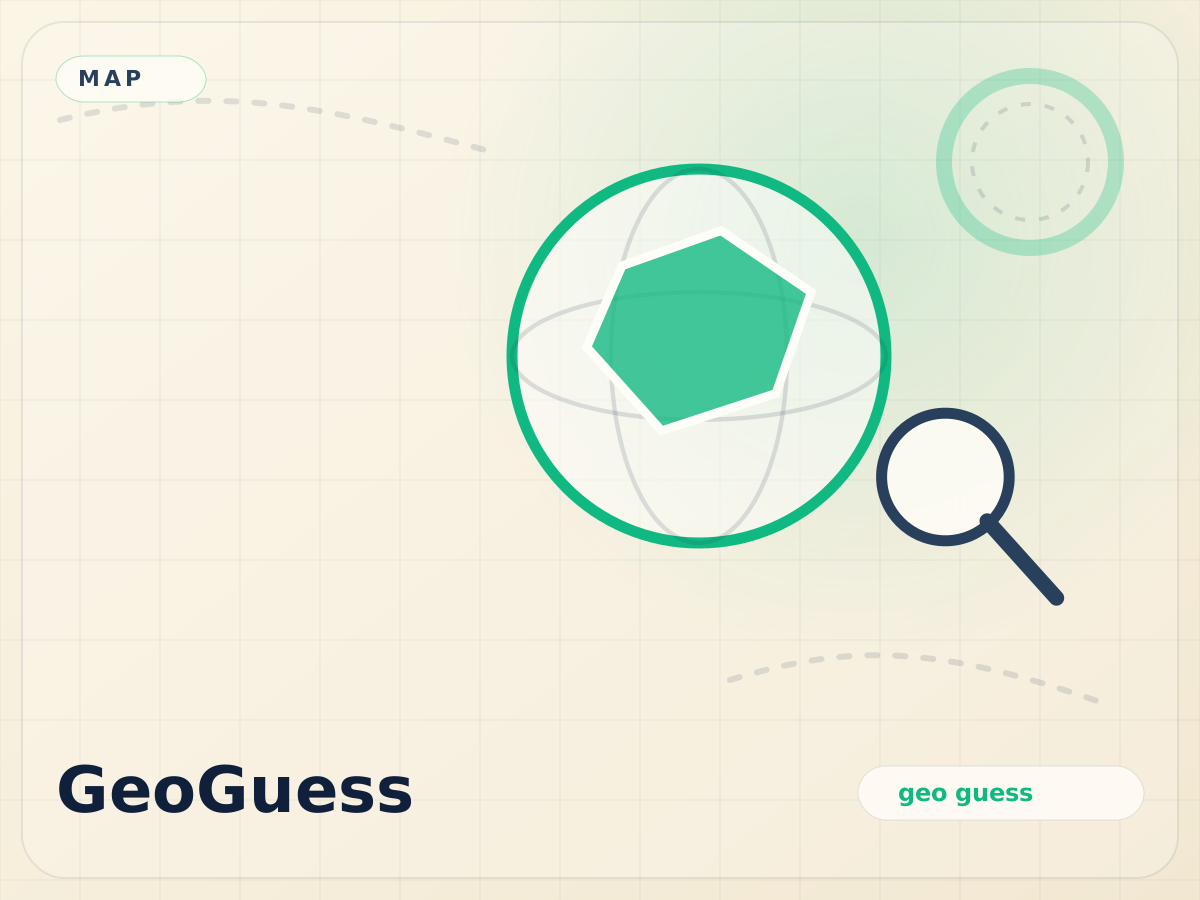
A country is highlighted on the 3D globe and the camera flies to its region. Name it from shape alone and sharpen your memory for borders, outlines, and relative position.
8 roundsShape memoryFree to play
Route Notes
How to Play
One country is highlighted in blue on the map. Type the country name in the search box. Auto-complete helps as you type. 8 rounds per game.
Route Notes
Map Features
Powered by MapLibre GL with a 3D globe view. Pan, zoom, and rotate to see the highlighted country from any angle.
Field Guide
Learning
Recognizing countries by shape is a core geography skill. This game helps you memorize borders, relative sizes, and locations.
Field Guide
Data
Country boundaries from Natural Earth 110m resolution. Rendered client-side via MapLibre GL. No map tiles or API keys needed.
Try These Next
MetroTyping
Race through real metro stations, city by city
Route typing
MapHint
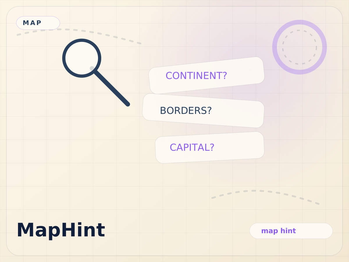
Progressive hints reveal the mystery country
Deduction
GlobeProx
Heat-seeking proximity game on the globe
Spatial reasoning
PinIt
Tap the correct location on the map
Map accuracy
CountryOutline
Guess the country from its silhouette alone
Silhouette recognition
MountainGuess
Identify the world's highest peaks
Peak identification