 Free entry
Worldle
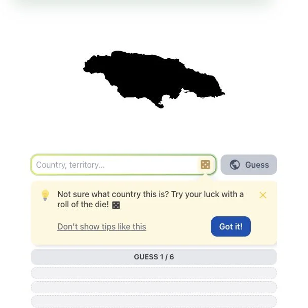
Identify a country or territory from its silhouette, using distance and direction clues.
Daily puzzles
Sea names describe broad areas, so shared edges and center distances tell different stories. Read both clues on the globe and account for the shortest route around a curved Earth.
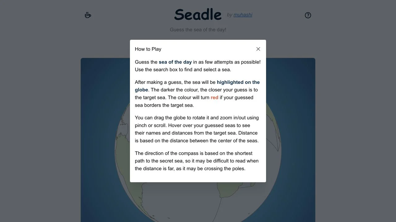
Seadle asks for a sea rather than a country. Each guess highlights a named sea on the globe; darker color indicates a closer guess, and red indicates that the guessed sea borders the target. The objective is to solve in as few attempts as possible.
The rules specify center-to-center distances and a compass following the shortest path around the globe. Far-away directions can be counterintuitive when that path crosses a pole. Rotate the view to understand the relation rather than reading the arrow as movement on a flat wall map.
Seas are extended areas rather than point landmarks. A shared edge can coexist with centers that are far apart, so adjacency and distance answer different questions. Start with broad basin geography, then use the red border clue to inspect connected named seas. At long distances, consider the curved shortest route before deciding that a compass direction contradicts your mental flat map.
Place the search in a major ocean or inland-sea region before trying several nearby names. A distant cold guess should prompt a broad reassessment.
A red guessed sea tells you to inspect its bordering seas. Do not mistake the adjacency signal for confirmation that the guessed name is already correct.
Use the displayed distance alongside shape and shared edges. Long seas can have distant centers even when their boundaries meet.
You know countries reasonably well and want to explore the water between them. The globe format makes sea relationships visible as you deduce the answer.
You prefer familiar country-name inputs or expect compass arrows to behave like a flat map. Sea vocabulary and spherical directions add a learning curve.
Choose a different game based on the experience you want.
Seadle uses the shortest path around the globe. For far-away seas, that path can cross a polar region and differ from the direction you expect on a rectangular map.
The numeric clue compares the centers of the seas. Shared boundaries and center-to-center separation are different geographic measurements.