 Free entry
Reborder
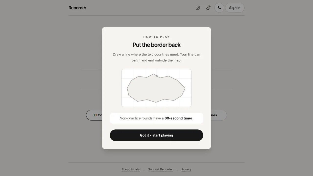
Redraw the missing shared border between two countries, with timed daily rounds and practice options.
Drawing
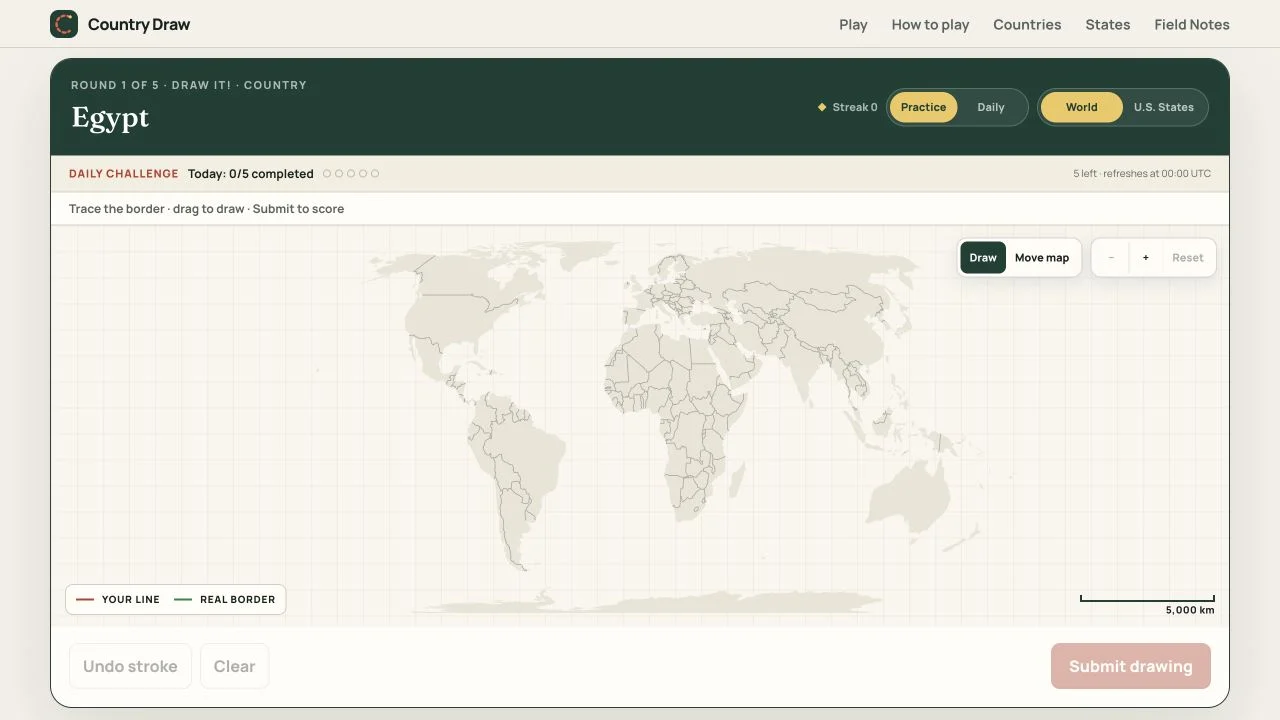
Use the map as context and the drawing as recall. Switch tools deliberately, preserve proportions and read separate border and shape feedback to identify one useful correction.
Draw Country combines a zoomable background with World and U.S. States modes. Draw prevents accidental map motion while Move enables navigation. Practice and a daily five-country challenge give different session choices, with the daily progress described as stored in the current browser.
The public scoring guide normalizes size and position while preserving proportions, orientation and bends. It separates border accuracy from shape or structural fit, and shows extra stroke areas separately. Open strokes are not silently closed into invented boundaries, so how you finish a landmass remains meaningful.
Normalization lets you sketch comfortably without matching the target’s exact on-screen size, but the broad geometry still matters. A closed landmass supports shape overlap, while separate strokes can represent islands or detached areas. Read the border and shape components together: accurate local segments can coexist with a poor overall silhouette. Use the map for context, then test what you can reconstruct rather than merely tracing a remembered screen position.
Check the active tool before dragging. Navigation can establish context, but an accidental pan during a drawing attempt disrupts your planned anchors.
The guide says open strokes are not silently joined. Finish the boundary you intend and use separate strokes for detached areas when appropriate.
Describe the largest mismatch as a specific proportion or direction problem. Carry that lesson forward instead of trying to perfect every coastline at once.
You want map-supported outline recall and feedback that distinguishes line accuracy from overall structure. The daily set supplies a repeatable short session alongside practice.
You prefer a blank canvas with no map context or require progress synchronization across devices. The described daily progress is stored locally in the browser.
Choose a different game based on the experience you want.
The public guide says overall size and position are normalized. Improving proportions, orientation and bends is more useful than enlarging the same flawed shape.
The scoring explanation says open strokes are not silently joined by an invented edge. Close intended landmasses deliberately and inspect the structural feedback after submission.
Free entry
Redraw the missing shared border between two countries, with timed daily rounds and practice options.
 Free entry
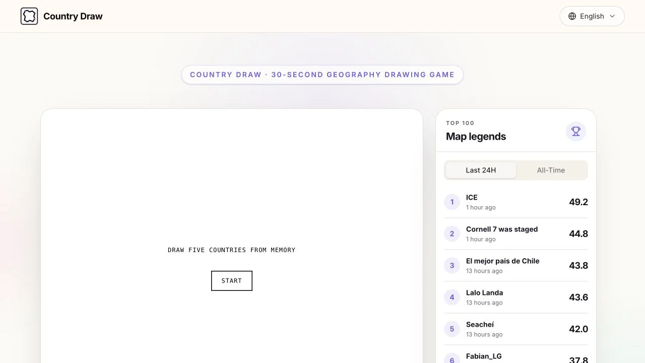
Sketch five countries from memory, with 30 seconds for each and normalized outline feedback after the set.
 Free entry
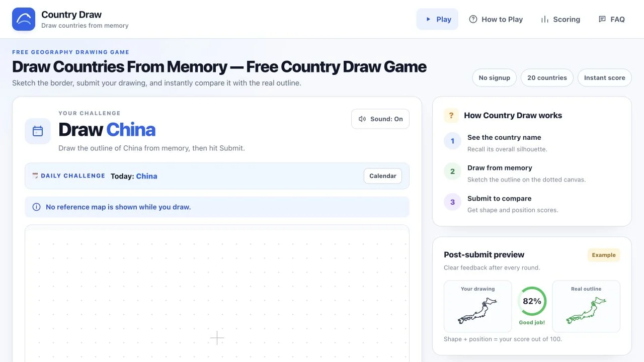
Draw an untimed country outline on a dotted canvas and inspect separate shape and position scores.