 Free entry
Virtual Vacation
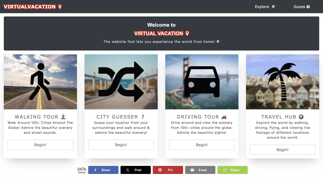
Explore travel videos and play a city-guessing challenge.
Virtual travel
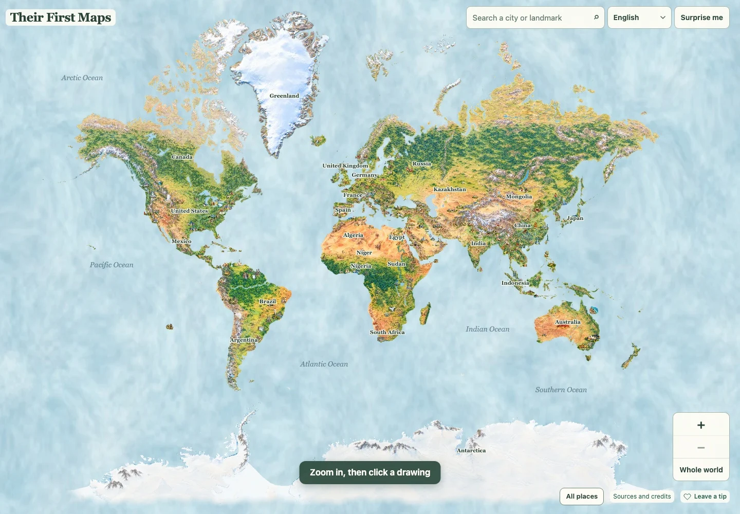
Choose a country, city or landmark, notice its drawing and read a little about the place. This free browser atlas gives families room to follow their own curiosity.
Their First Maps gives children and adults an illustrated world to explore at their own pace. Move across countries, zoom toward a city or landmark, and open its short place story. The drawings offer something concrete to notice before reading: a building, a mountain or a coastline can become the starting point for a family conversation. You can follow a familiar place, search for somewhere new, or let Surprise me choose the next stop.
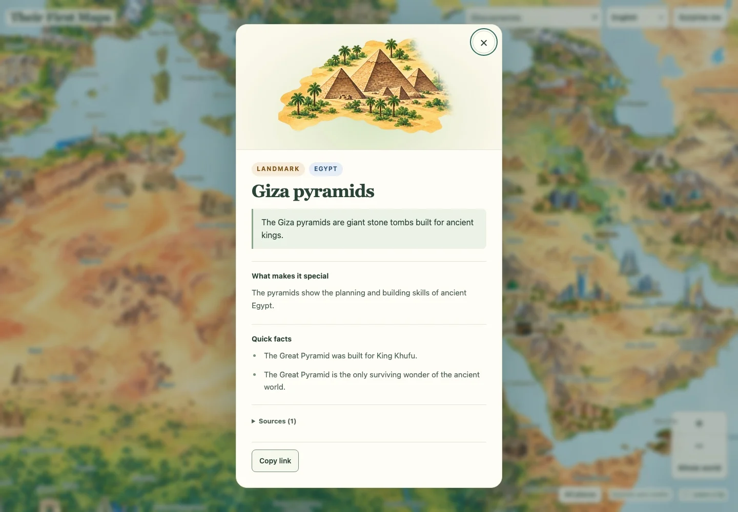
Every place is free to explore, with no account required. The optional voluntary tip supports upkeep and does not unlock content. We opened the public atlas as a guest, searched for the Giza pyramids and read its story, quick facts and source section. Families share the same screen and choose their own route through the map. Their First Words LLC publishes the experience; creator Raphael submitted it to the directory and described himself as a dad behind Their First.
The atlas connects a picture on the world map with information about the place it represents. Search gives you another way to reach a country, city or landmark, while Surprise me provides a starting point when you have no destination in mind. A place card presents a short introduction, an explanation of what makes it distinctive, quick facts and supporting sources. Close it to continue exploring. There is no required sequence to complete: the useful activity is noticing a detail, reading about it and deciding what you want to discover next. On a shared screen, adults can read aloud while children choose the next place.
Find a place connected with your family before moving farther away. A home country, a city you have visited or a relative’s home can give a child a reason to ask where the next place sits in relation to it.
Before opening a story, take turns describing what you notice in the drawing. Read the card together, then return to the picture and point out one detail that makes more sense after learning about the place.
Choose a small thread for the session, such as mountains, old buildings or places near the sea. Use search when a destination comes to mind, or Surprise me for a fresh starting point. Open the card’s sources when you want more detail.
You want relaxed geographic discovery with children, or enjoy an illustrated atlas where pictures and short stories guide a conversation. It works for solo browsing and families sharing a screen.
You want timed country recall, scored answers or competitive rooms. Pick a map quiz for those goals. The artwork is an interpretation for discovery, with approximate sizes and positions.
Choose a different game based on the experience you want.
Choose Virtual Vacation for travel footage and everyday street scenes. Their First Maps uses illustrations and short reading cards, so the choice depends on whether you want to watch a place or talk through a picture.
Choose Lizard Point when you are ready to practice locating countries on a regional map. Its study and test settings provide a defined recall exercise after an open exploration session.
Yes, every place is free to explore and no account is required. The optional voluntary tip supports upkeep and improvement; it does not unlock content. We opened the atlas and a place story as a guest.
Yes. Use a web browser on desktop, mobile or tablet with an internet connection. Families can share a screen, take turns choosing places and read the stories together. The language selector offers English, Spanish, French, German, Italian, Portuguese, Russian, Korean, Japanese, Simplified Chinese and Tagalog.
Free entry
Explore travel videos and play a city-guessing challenge.
 Free entry
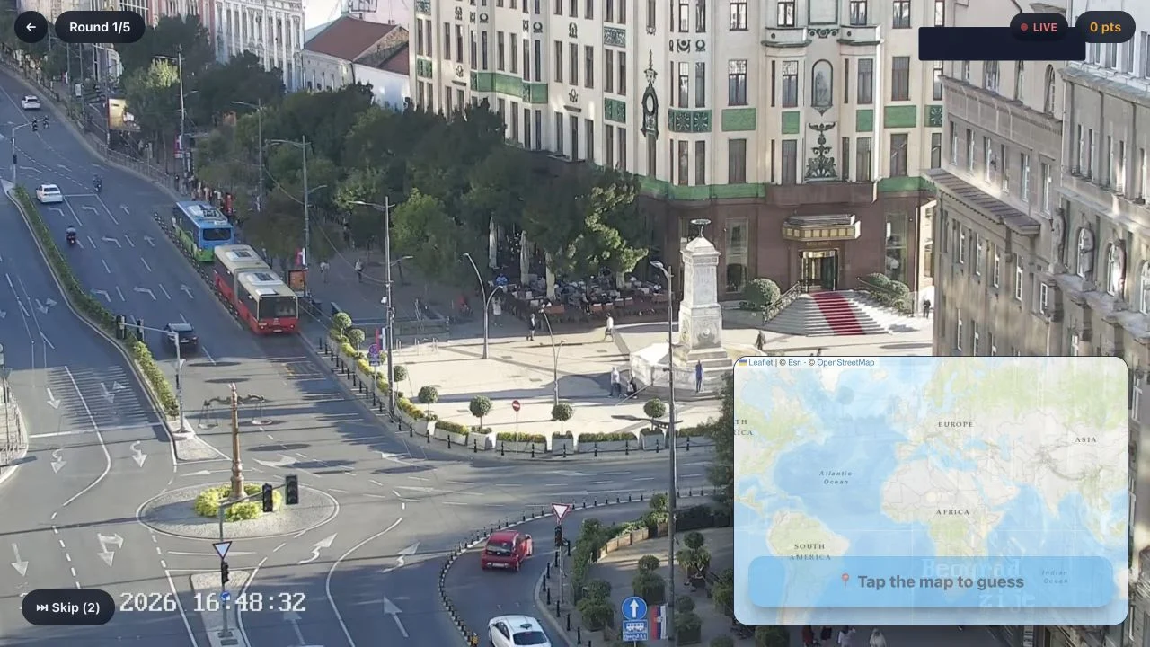
Locate a live camera feed on a map across five rounds, with limited skips.
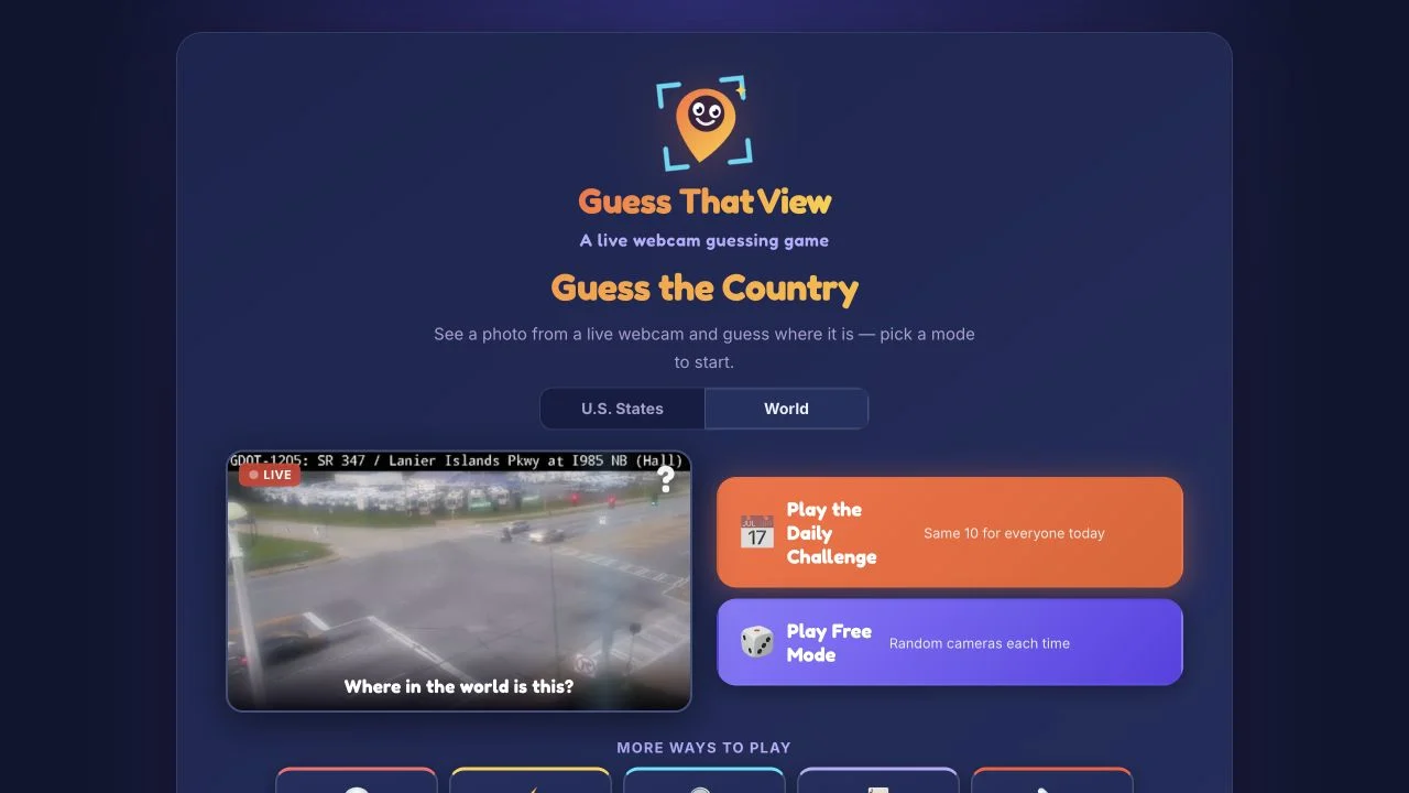 Free entry
Recognize webcam views before answer choices disappear, or try a themed practice mode.