 Free entry
Airport Guessr
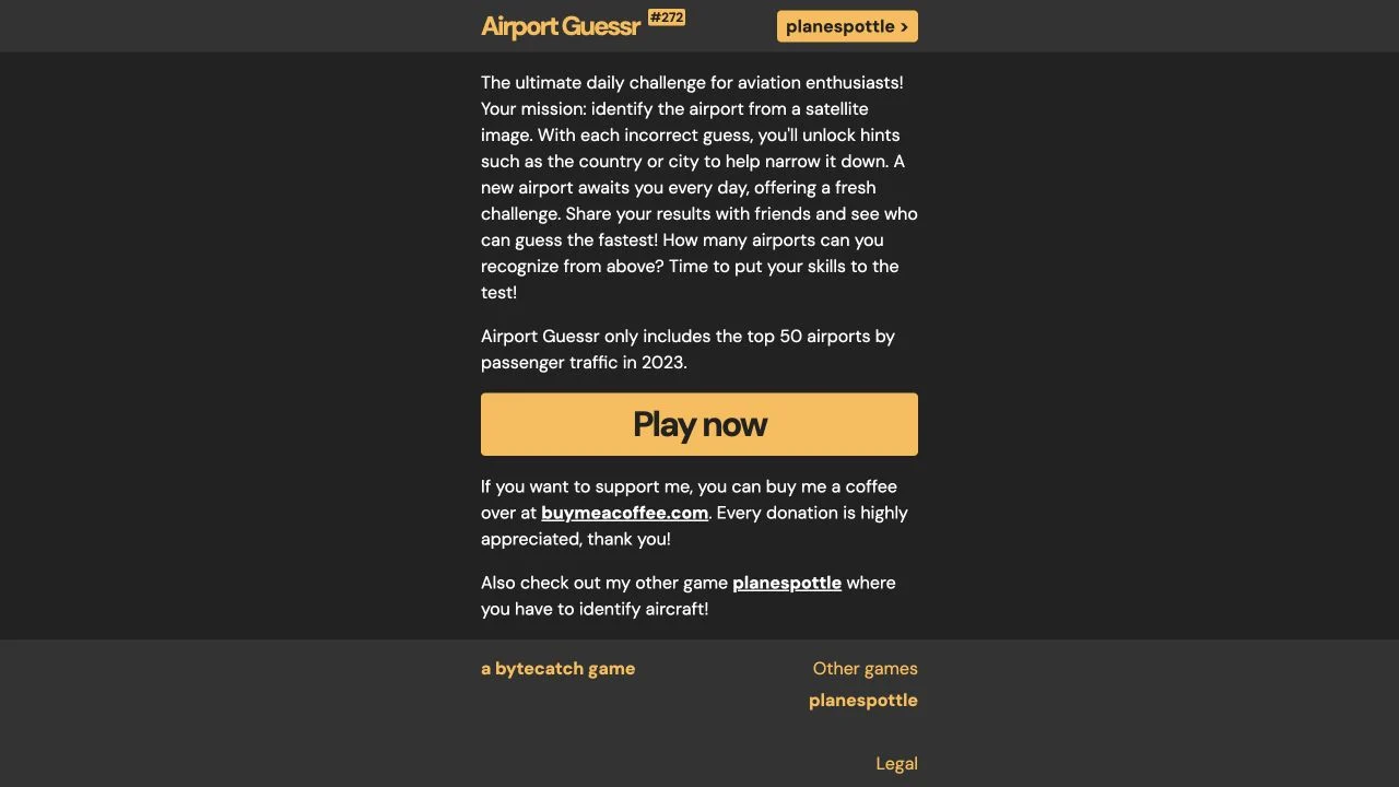
Identify a busy airport from a satellite image, unlocking country and city hints after incorrect guesses.
Aviation
A coastline becomes a route you can follow. Learn the aircraft controls first, then use the map and visible landforms to explore geographic relationships from the air.
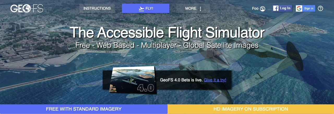
GeoFS is a browser flight simulator with a global environment built from geographic data and satellite imagery. Its aircraft and location menus let you explore airports and terrain, while the navigation panel adds map context. The official site lists multiplayer, weather controls and radio-navigation tools. This directory includes it as an aviation-geography experience, with an explicit distinction from airport-identification quizzes.
The official instructions support anonymous flying and explain keyboard, mouse and controller input. Basic simulation is free, with HD imagery subscriptions and separate Pro offerings. We inspected the public site, simulator entry and instructions; this does not establish a successful complete flight, multiplayer session or paid imagery entitlement. WebGL 2 compatibility and imagery loading affect whether the landscape renders correctly on a particular device.
The geographic task is navigating a changing viewpoint. Coastlines, valleys and airport orientation become spatial references as you travel rather than clues to one hidden answer. Aircraft control and map reading need to be learned separately: a control mistake is not a geography mistake. Start with a simple aircraft and a familiar region so that the navigation panel can connect visible terrain with its position on the map.
Use the instructions for mouse or keyboard input before comparing aircraft. Small pitch and throttle changes are easier to interpret when the controls themselves are familiar.
Begin near a coast, river or airport you can locate on the navigation map. Following the same feature visually and on the chart builds useful orientation habits.
Allow imagery to load and confirm the selected dataset. A blank landscape or missing fine detail can reflect browser capability, loading or imagery access rather than the real geography.
You enjoy open exploration and want aviation geography through navigation rather than a sequence of quiz answers.
You want a quick daily puzzle or precise high-resolution landmarks on every device. Simulation controls, WebGL performance and imagery plans add setup considerations.
Choose a different game based on the experience you want.
No. It simulates flight in a geographic environment. You choose places to explore and navigate between them; there is no checked hidden-airport answer loop in this listing.
The official instructions say anonymous flying is supported, and the site offers free basic simulation. HD imagery and Pro services are separate plans; account features such as callsign and chat have their own sign-in requirements.
Free entry
Identify a busy airport from a satellite image, unlocking country and city hints after incorrect guesses.
 Free entry
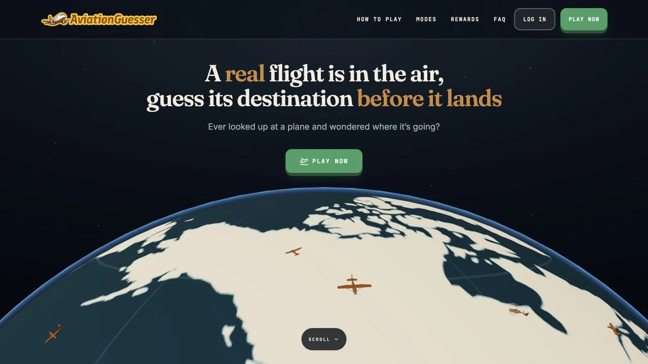
Use an aircraft’s type, altitude, speed and heading to predict its destination airport.
 Free entry
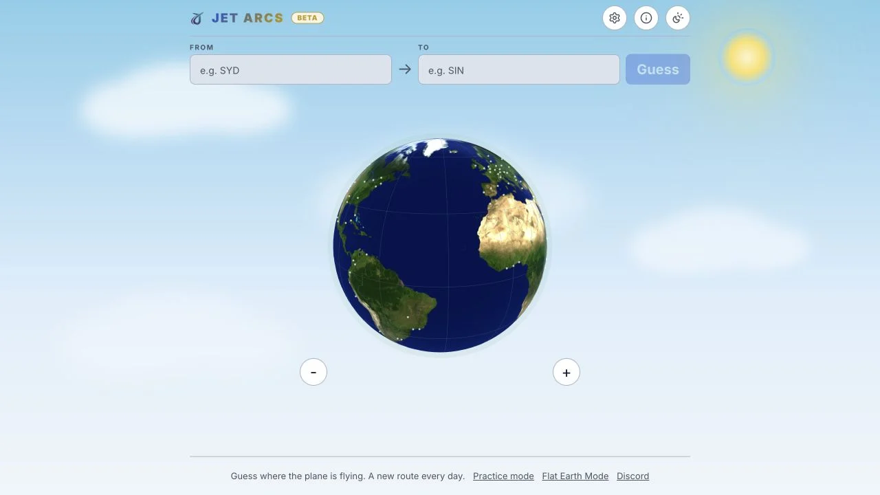
Guess a secret route between two airports using colored proximity, distance and direction clues.